
My Services
Reach out to discuss pricing and the specific data or documentation your project requires. From site mapping and measurement to inspections, asset intelligence, and construction progress documentation, I provide reliable aerial data solutions tailored to your job site and operational needs. Call, email, or use the contact form below to discuss your project and schedule service.
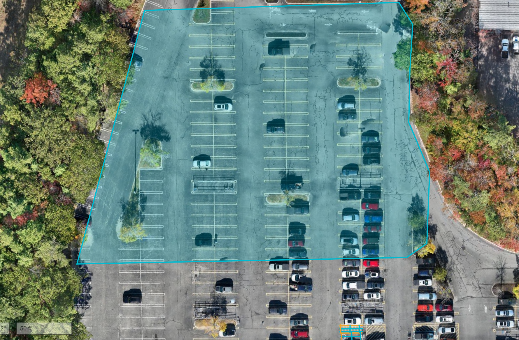
Aerial Site Mapping & Orthomosaics
High-resolution georeferenced maps
Pre-construction & feasibility analysis
Photogrammetry & 3D Modeling
Point clouds
Surface models
As-built conditions
LiDAR Data Capture
Topographic mapping
Vegetation penetration
Large-area terrain modeling
Volumetric Measurements
Stockpile volumes
Cut/fill calculations
Earthwork verification
Boundary & Site Verification (Non-Survey)
Visual boundary context
Site constraints documentation
Planning & permitting support
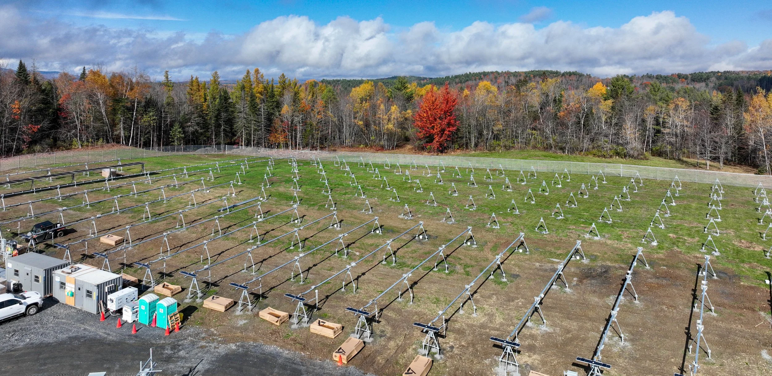
Solar & Energy Asset Inspections
Utility-scale solar fields
Array condition documentation
Panel-level issue identification
Thermal Imaging Inspections
Heat loss
Electrical anomalies
Moisture intrusion indicators
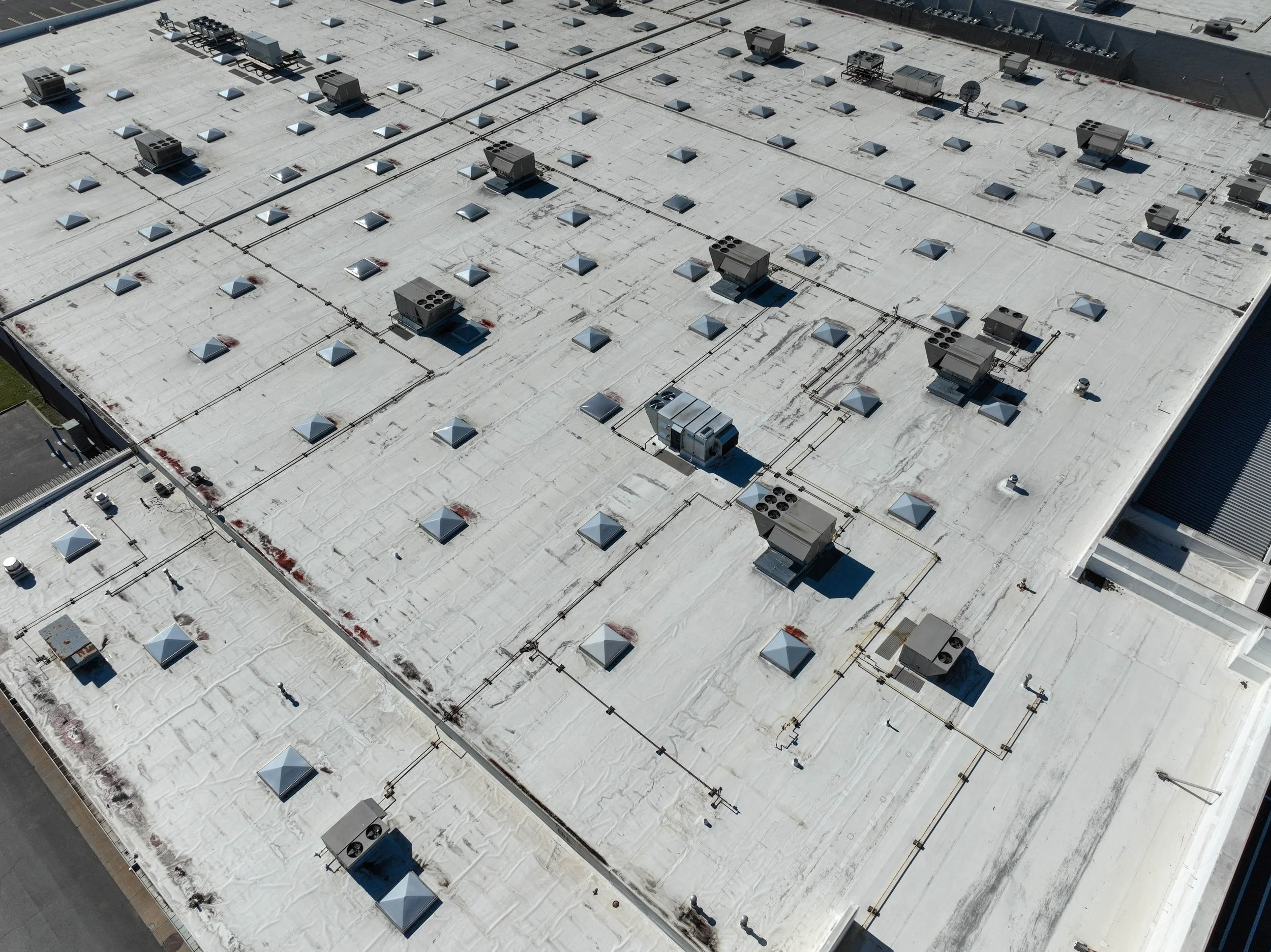
Asset Condition Documentation
Visual baselines
Defect tracking over time
Maintenance planning support
Recurring Inspection Programs
Scheduled inspections
Change detection
Historical data continuity
Construction Progress Documentation
Scheduled site captures
Milestone verification
Owner & stakeholder reporting
Job Site Verification for Bids
Pre-bid site condition capture
Access & logistics verification
Risk documentation
As-Built Documentation
End-of-phase records
Visual proof of completion
Dispute mitigation assets
Marketing & Project Media
Professional visuals for proposals
Investor & stakeholder presentations
Portfolio documentation
Time-Lapse & Longitudinal Projects
Multi-month or multi-year builds
Visual history of construction phases
Contact me
Interested in working together? Fill out some info and I will be in touch shortly. I can’t wait to hear from you!